Create a Graph of City Elevations
Graph Elevations!
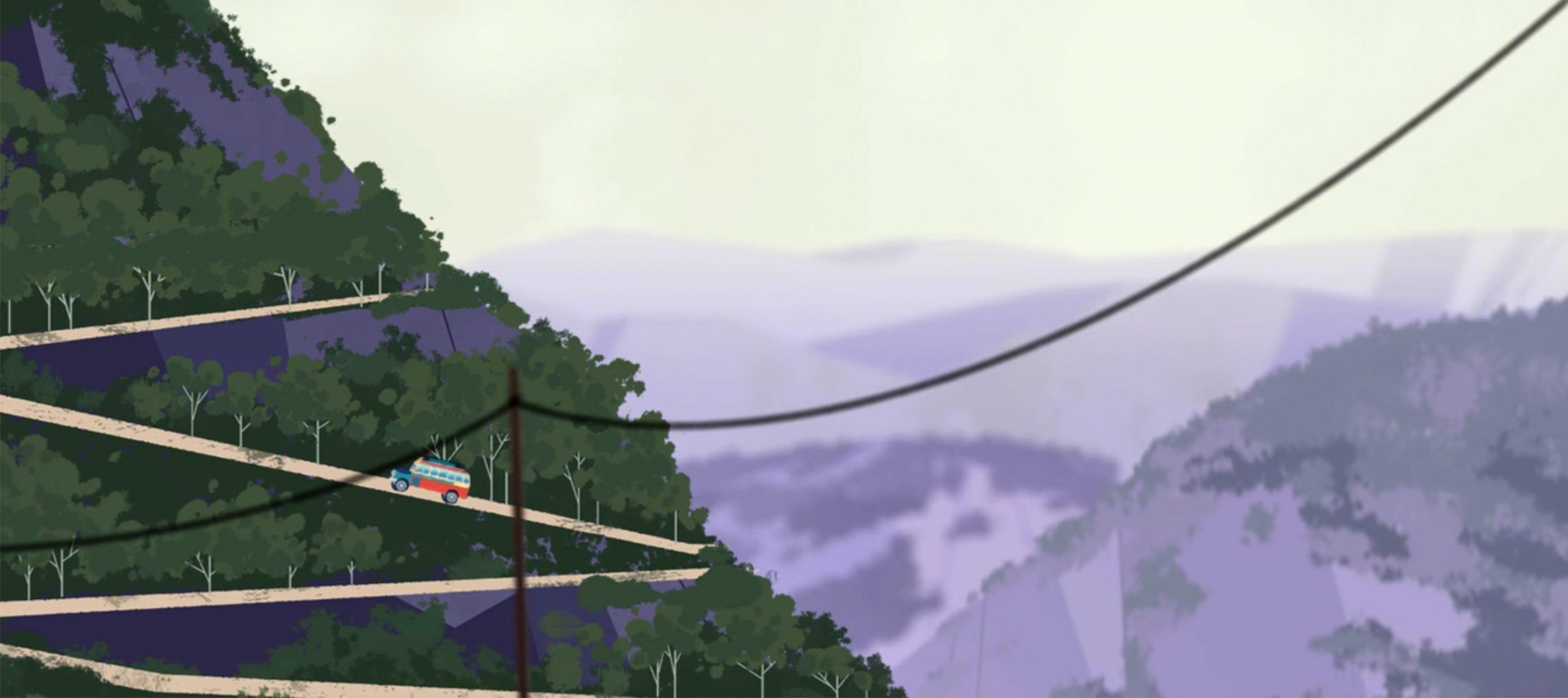
In Episode 4, Carmen Sandiego gets altitude sickness. With this activity, kids learn more about elevation by comparing data and practicing their graph-making skills.
Activity Instructions
Kids create bar graphs of the elevations of different capital cities.
Estimated Time: 20–30 minutes
Materials Needed: Atlases, almanacs, graph paper, rulers
Carmen Sandiego gets altitude sickness because Quito’s elevation is so high. Explain to your kids that they will create a bar graph of the elevations of different capital cities. Each kid should research and collect data for the elevations of Quito, the capital cities of five different countries, and the school’s location. Then have each kid create a bar graph using the data collected. Some kids may need help with selecting the scale for the graph. Display graphs so that your kids can see a wider variety of data.